palTerrainHeightmap Class Reference
#include <palTerrain.h>
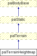
Inheritance diagram for palTerrainHeightmap:
Public Member Functions | |
| virtual void | Init (Float x, Float y, Float z, Float width, Float depth, int terrain_data_width, int terrain_data_depth, const Float *pHeightmap) |
Detailed Description
A Heightmap This defines the terrain as a heightmap. The heightmap is in the xz-plane.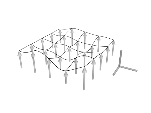
Member Function Documentation
| void palTerrainHeightmap::Init | ( | Float | x, | |
| Float | y, | |||
| Float | z, | |||
| Float | width, | |||
| Float | depth, | |||
| int | terrain_data_width, | |||
| int | terrain_data_depth, | |||
| const Float * | pHeightmap | |||
| ) | [virtual] |
Initializes a heightmap terrain.
- Parameters:
-
x Position of the heightmapped terrain (x) y Position of the heightmapped terrain (y) z Position of the heightmapped terrain (z) width The width (size as a distance) of the terrain depth The depth (size as a distance) of the terrain terrain_data_width The number of heightmap values used to describe a slice of the terrains width. terrain_data_depth The number of heightmap values used to describe a slice of the terrains depth. pHeightmap A pointer to an array of Float values of size (terrain_data_width*terrain_data_depth) which contains all the heights of the terrain.
The documentation for this class was generated from the following files:
- /var/www/hosted/adrianboeing.com/pal/current/pal/pal/pal/palTerrain.h
- /var/www/hosted/adrianboeing.com/pal/current/pal/pal/pal/palTerrain.cpp